

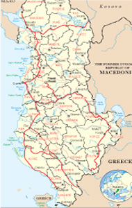
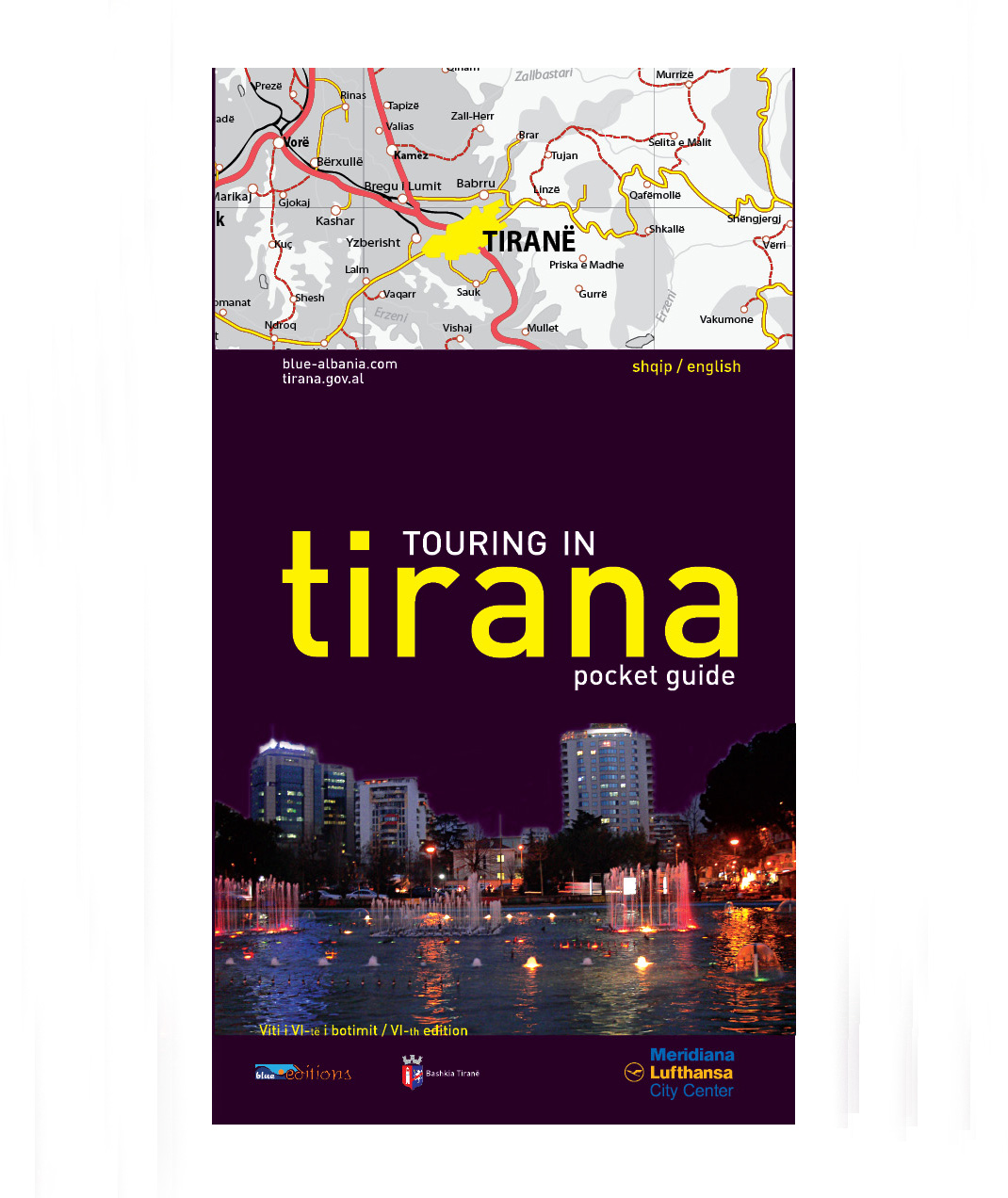
Albanian Map
Links
 |
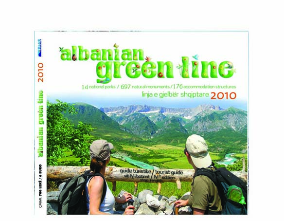
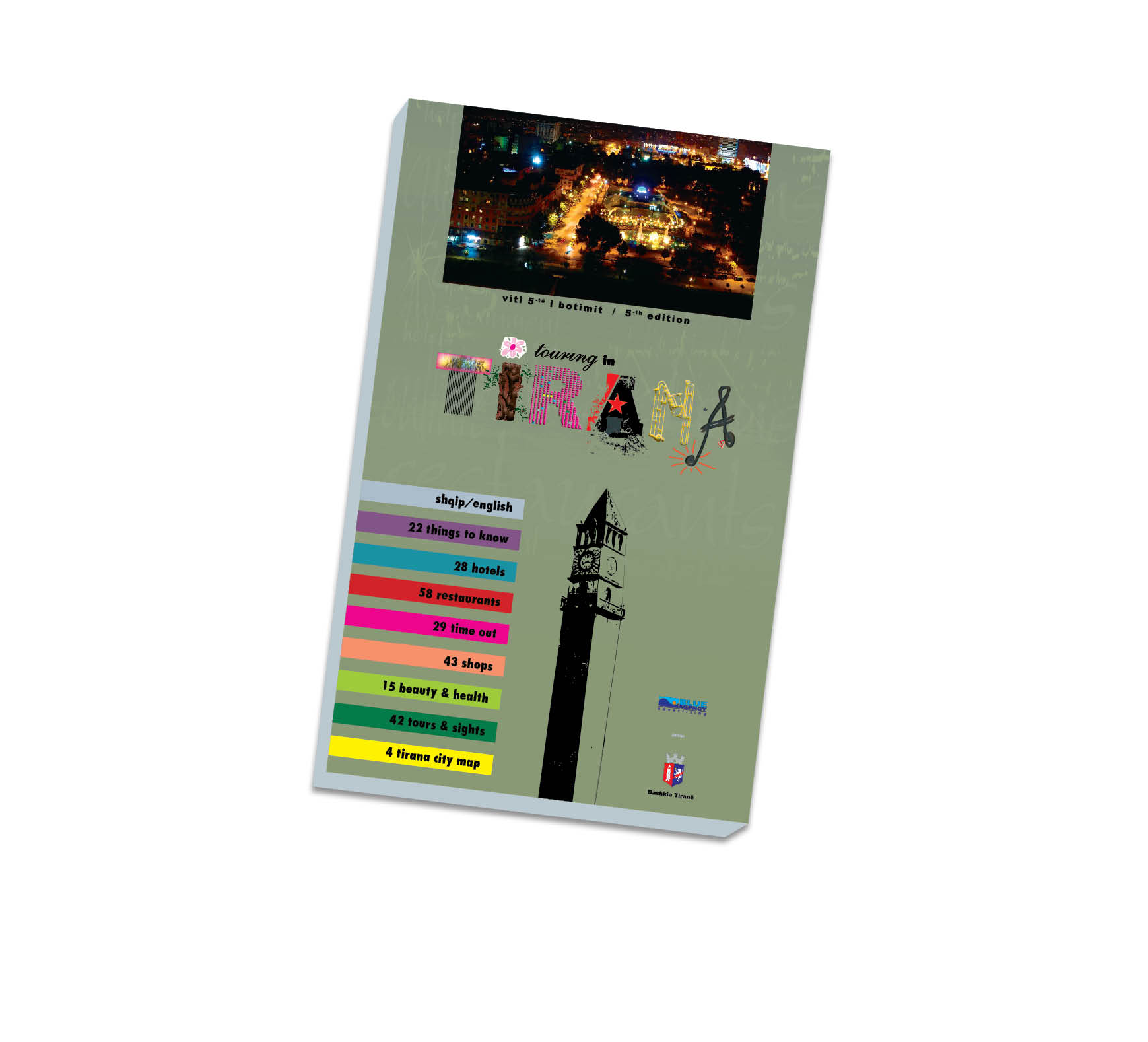
Publications
.jpg)


Kukesi General Info
Kukësi lies at the north-east part of the republic of Albania, linked in the Esat with the city of Prizren (Kosovë) through the custom of Morina, and at the inner side of the territory, is linked with Hasi in North, Puka in West, and Peshkopia in South.
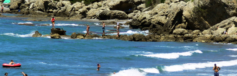
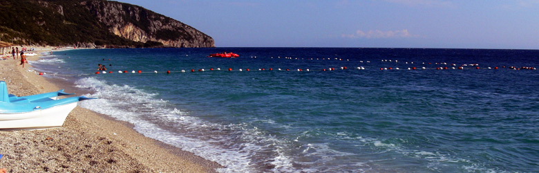
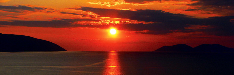
Kukësi or new Kukësi is placed at the foot of Gjallica Mountain, (2487m) and is one of the newest cities in Albania. The old Kukës is now under the waters of the artificial lake of Fierza, with a surface of 72.5 km2. The new Kukës finished to be constructed at 1976. The lake was created for the new hydro electric power house. The lake is fed by two rivers, the Black Drini (from Ohrid Lake) and White Drini (from the mountains of Rugova, Kosovë). Both of these brunches, create the Drini River, longest in Albania (287 km) which runs in the Adriatic through the Gulf of Lezha. The union of two rivers has given to Kukës, a nice shape of a peninsula which offers a picturesque view in every season.
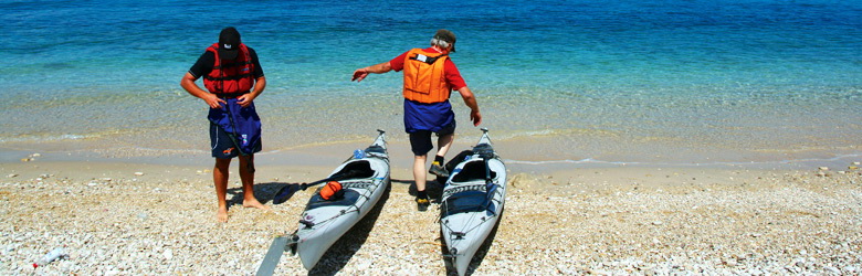
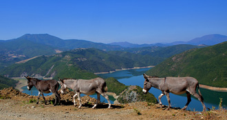
The area of Kukës, is characterized by a wonderful nature, with attractive landscapes, natural monuments, various points and places, becoming so a pleasant destination for the green and white tourism.
Climate
The climate is characterized from a cold rough winter and a short hot summer. The annual degrees go to 11.9 grade C. The medium of extreme degrees go from 3.9 until 25.4 grade C. The annual rainfalls go to 800 until 1100 mm. The wind flows with a medium of 3.5m/s in winter 3.1m/s in spring 2.3m/s in autumn.
History
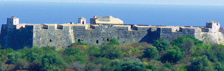
The town was relocated as part of a hydroelectric scheme. The old Kukës was submerged beneath an artificial lake in 1976, the lake being held back by crumbling Chinese-built dams. The new town was built in the 1970s, in the plateau nearby which is 320m over the sea level. Kukësi i Ri is surrounded by the artificial lake of Fierza and it looks like a peninsula from the above. It is linked with the other parts of the country by three bridges. On the East it faces the snow covered mountain of Gjallica, 2468m over the sea level. Illyrian tombs were found nearby Kukës. It was a small Roman settlement, a stopping point on a branch road leading to the Via Egnatia, and a minor Ottoman market centre and trading post on the road to southern Kosovo. Just before the First World War it was there where Albanian resistance stopped Serbian invasion in 1912.
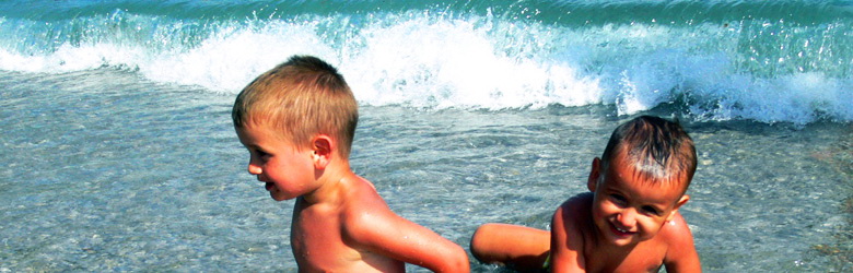
Kukës was briefly on the world stage during the Kosovo conflict when many hundreds of thousands (500.000) of Kosovan refugees crossed the frontier and were housed in camps in and around Kukës. Kukës is the only town to get nominated for a Nobel prize.
There is also a local historical museum and a carpet factory. The food industry is confined only to production of alcoholic drinks produced in a drink factory, and to some local small workshops producing drinks and dairy products.
The region of Gora
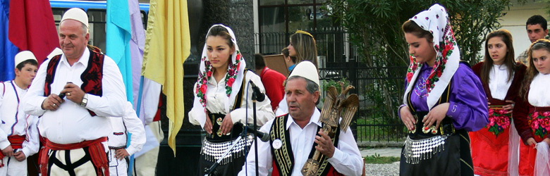
It is an ethnographic region in the east-side of Kukës. Documented since 1348 as the mountain of Zerca, Kacina, Gllava Kallabaku etc. the region of Gora includes the villages; Shishtavec, Borje, Oreshka, Cernaleva, Orgjost, Zapod, Kosharisht, Pakisht.
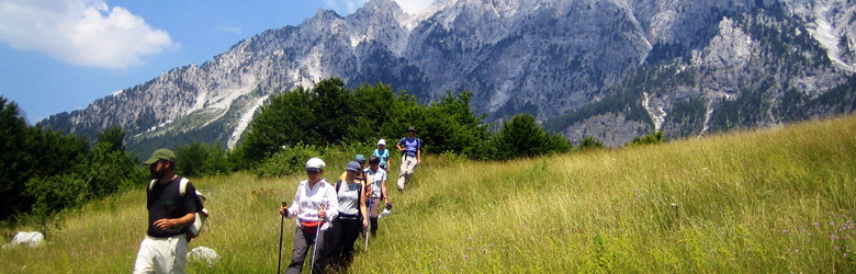
Gjallica and Kallabaku mark the boundary of the area of Gora. It has a rough relief, which is characterized by a fresh summer and cold long winter. The agriculture and handicrafts make the economy of this area. It is populated during the medieval period.
At the 1923 the political events, divided Gora in two parts. From 39 villages of Gora 28 are part of Kosova and 11 remained in Albania. The inhabitants are called “groans” from the neighborhood. One of the most mentioned and important villages in this region is Shishtaveci, which is also the capital commune of the region.