
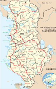
Albanian Map
Links
 |
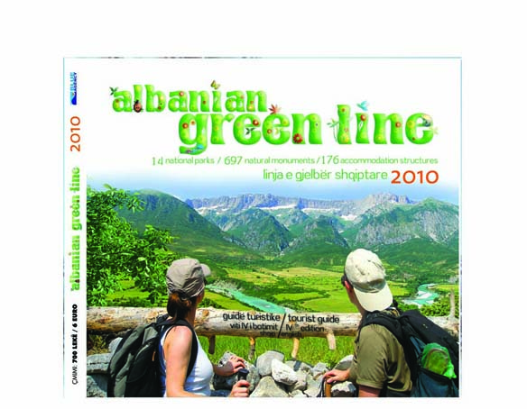
Publications
.jpg)

Hasi General Info
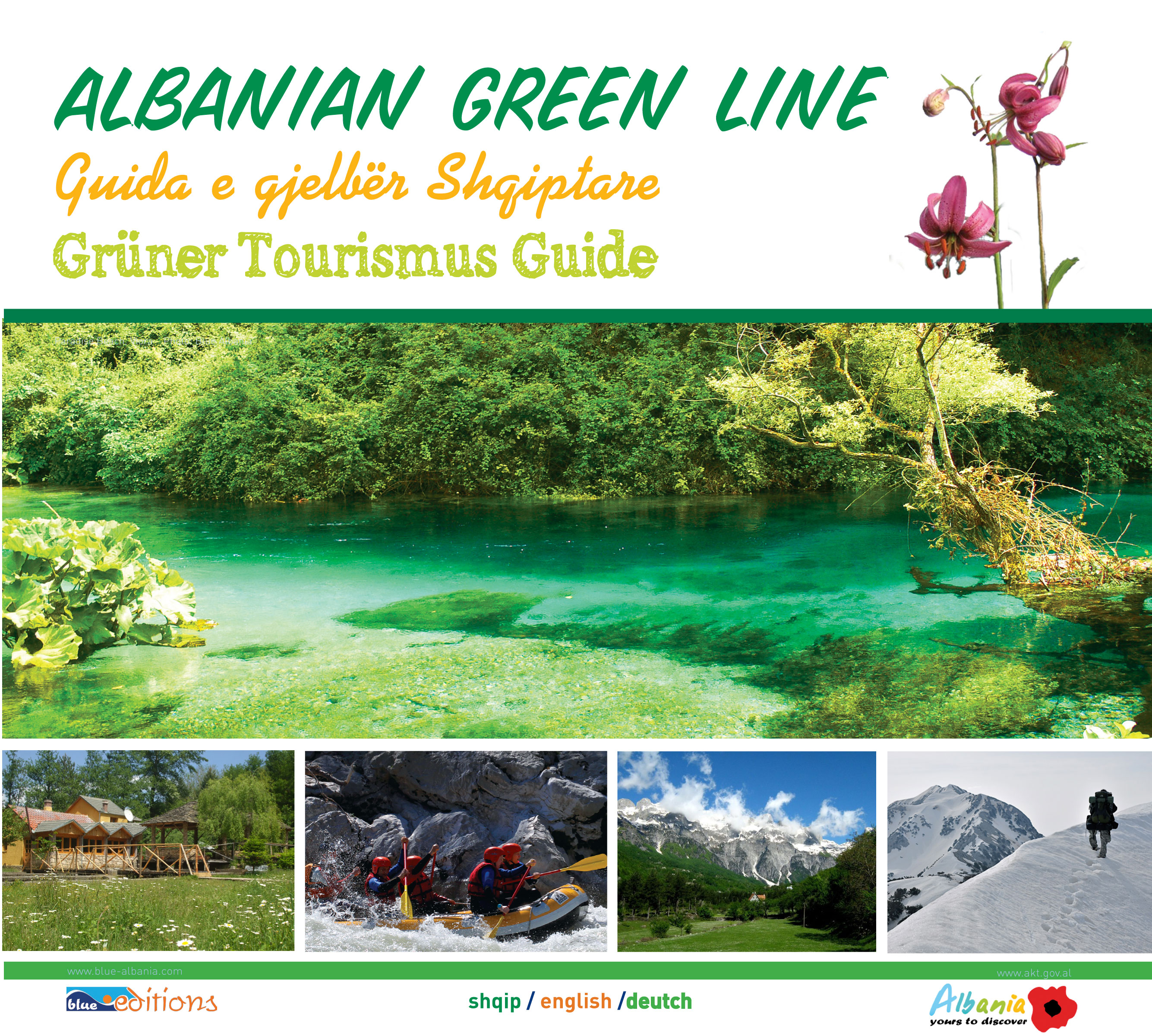
The district of Hasi is a small area, situated in the county of Kukës, Northern Albania, in an interesting relief, mixed by small fields, hills, rivers and valleys, which make this place attractive and suitable for the natural tourism.
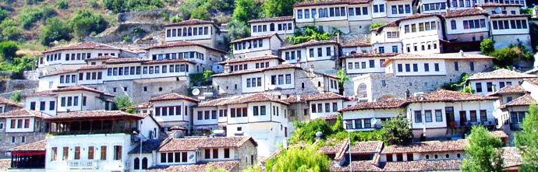
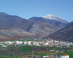
Kruma is the capital of the Has District. It is a pleasant small town located at the north-west foot of the Bjeshka e Krumës mountain (Kruma Highland, Mount of Kruma), from which comes a large source of underground water called Vrella with clean and cool water serving the domestic population's needs for fresh water. From this source at the very bottom of the mountain, starts the Kruma River with clear and fresh waters, which goes toward the west, and, collecting other tributaries and becoming stronger, curves slightly to the left like an arc and joins in the south the Drini river, now the artificial Lake Fierza. On the east side of the town there is the Gajrep mountain (Albanian: Gajrepi), while forward, alongside the Kruma river and wider, initially on the right side and then on the both sides, are placed the fruitful plains and low mild hills which spread to the far mountains on the west.
This area includes inside 9 monuments of nature, in which we can distinguish the Sounding Cave in Mazrekë, The source of Domaj, the Spring of Kruma etc.
Geographic position
Hasi region is surrounded from Kukes in the south-side, from Tropoja on the north-west, from Kosova in the East-side and at the south-west is restricted from Drini River, and Fierza Lake.
Climate
The climate is characterized from a cold rough winter and a short hot summer. The annual degrees go to 12-13 grade C. The medium of extreme degrees go from 3.9 until 25.4 grade C. The annual rainfalls go to 700 until 1000 mm. The wind flows with a medium of 3.5m/s in winter 3.1m/s in spring 2.3m/s in autumn.
Tourism resources
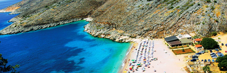
The Highland of Kruma (Bjeshka e Krumës), is an attractive point of natural interest, composed by a diversity of landscape, which makes possible the development of tourism in this area.
Different sports and activities can be realized, supported from the natural resources of the zone. The main interest can be pointed in the speleology, in trekking, walking in the nature and admiring the numerous springs along the region.
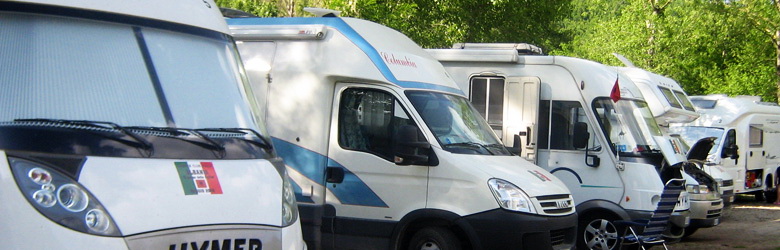
Also to the forests of the villages around Kruma, can be organized picnics or camping places, to explore the zone.
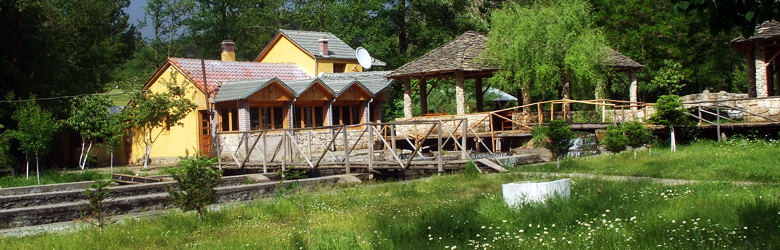
This area is not so developed and actually there are no accommodation structures to offer a special package as the best thing to enjoy, but different small bars and restaurants will show you the qualities of the human resources of this area as hospitality, honor and joy.
The natural Monuments
Geo-monuments
The cave of Pigeons (Pëllumbave). Situated near of the village of Vlahën, at the mountain of Pashtriku, 1300 m on the sea level, next to the boundary point of Guri i Bardhë (White Stone). It consists in a carst cave in calcareous, over 30 m long, 11 m wide, 5 m high. It is a real shelter for the culvers. From this fact comes the name. It has a lot of values and can be visited according to the itinerary Krumë-Vlahën.
The Cave with court yard. Situated near of Krumë, 700 m on the sea level. Created from the carst in the calcareous of Crete, longitude over 40 m, latitude 4-5 m, height 8-10 m. it is still unexplored totally and has a lot of values. Can be visited according to the itinerary Krumë-Kukës.
The Sonorous Cave in Mazrekë, near of the village, about 600 m on the sea level, created from the carst, in the calcareous of Crete, not so explored. It starts with a carstic well, and is 50 m long, 10-20 m wide. The name comes from the sound afflicted by the drop of stones in it. It has a lot of values and can be visited according to the itinerary Krume-Mazrek.
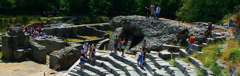
The peak of the town (Maja e Qytezës). Situated near of Krumë, about 800 m on the sea level. It represents calcareous stone over the territory. There has been found remnants of ancient human dwelling. It has a lot of values and can be visited according to the itinerary Krume-Kukës.
Hydro-monuments
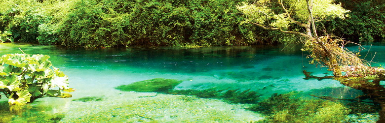
The spring of Kruma. Situated near of Kruma, 480 m on the sea level. The carst spring flows out from the foot of the tectonic-lithologic scarp, in contact with calcareous.
It has tourist, ecological, scientific, biological values.
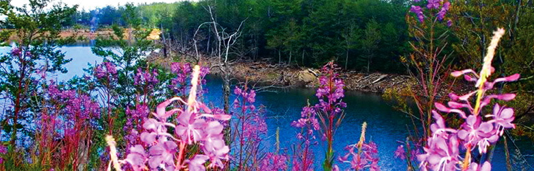
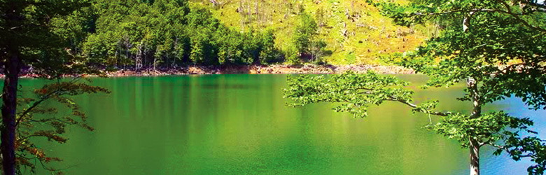
The springs of Brudi. Situated near of Brudi village, 450 m on the sea level. There are only two carstic springs in the contact calcareous-magmatics. The others has been covered from the waters of the artificial lake of Fierza, composed from cold crystal water, create an attractive point of nature. It has tourist, ecological, scientific, biological values.
Can be visited according to the itinerary Kukës-Brudë.
The source of Domaj, near the village, 400 m on the sea level. The carstic source flows out at the tectonic contact with calcareous territorial with a flux of 300 l/sek, of clean crystal water, creating an attractive point of nature. It has tourist, ecological, scientific, biological values. Can be visited according to the itinerary Krumë-Domaj.
Biomonuments
The Pine-tree of Gjinaj. It is a 300 years old tree near of Gjinaj village, 740 m on the sea level. It has the shape of a mushroom, large crown, 20 m of height, and diameter 1 m. It has tourist, ecological, scientific, biological values. Can be visited according to the itinerary Krumë-Gjinaj.
The beech-tree forest of Red Lake (Liqeni i Kuq). Situated near of the village Liqeni i Kuq, 300-370 m on the sea level, below the normal level of the forests of beech-tree. It represents a forest of beech and oak-trees and maple-trees as well, 25-28 m high, diameter of 35-37 cm, age of 150-180 years. It has tourist, ecological, scientific, biological values. Can be visited according to the itinerary Krumë-Fajzë-Liqeni i Kuq.