
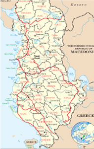
Albanian Map
Links
 |
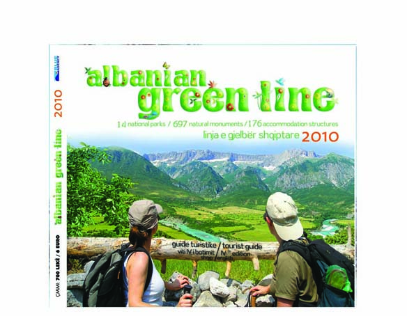
Publications
.jpg)

Librazhdi General Info
Librazhdi is a city in southeast Albania, Bounded on the north by the districts of Mat, Bulqizë west of Elbasan district, south district of Gramsh, southeast district of Pogradec and east by the republic of Macedonia. Librazhdi border has a length of 42 km and has a fully-mountainous hilly terrain. What makes it interesting is the relief of Domosdova field holes in Prrenjas and Letmi Studna field holes. The maximum height above sea level is 2253 m at the peak of Red Mountain Shebenik..
Relief and climate
Geographical location, the configuration of relief, the absolute height above sea level and the distance from the Adriatic Sea has enabled the continental nature of the climate which appears in the cold and wet winter and short, hot and dry summer. The average annual temperature is 13.4 degrees Celsius, the maximum temperature recorded was 40.7 degrees Celsius with the minimum temperature is 14/09/1957 and recorded in 1968 by 15.7 degrees Celsius.
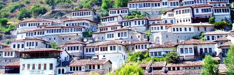
History
Librazhdi like all the other cities of Albania, inherits traces of the origins of ancient Albania, as a descendant of the Illyrians, and trace the Middle Ages who spent all under Turkish rule.
Librazhd district was created as an administrative unit in 1958. Today is part of the prefecture of Elbasan. Administrative center is the city of Librazhd. Librazhd district consists of two municipalities and nine communes that were created after the reorganization of local government in 1992. Librazhd population generally appear indigenous. On January 1, 1998 it reached 82,411 residents and about 18,203 families. In the cities of Prrenjas shines reside around 27,963 inhabitants or 29.7% of the population while the rest resides in the village. Librazhdi has an average age of the population 48 years old.
The first school opened in Bërzeshtë in 1895 and the first boarding school was opened also in Bërzeshtë in 1929. Librazhd district has numerous mineral wealth and their base was established during the socialist system for processing their mines like the iron-nickel Prrenjas. Today the district economy is based more in the service sector, livestock, agriculture and forest exploitation.
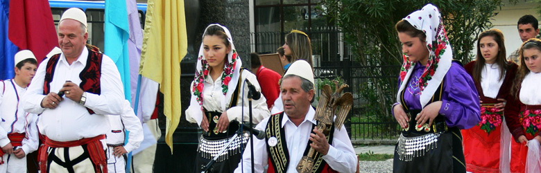
Culture and ethnography
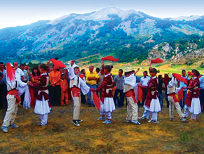
Librazhdi has a very rich tradition maintained in the field of folk music and dances, ethnographic preserves values, customary, cultural and historical heritage of all provinces, currently has a quite a popular dance group with enhanced activity that takes part regularly in many festivals and concerts organized in Albania and abroad.
Librazhdi has also distinguished personalities in the field of history and culture, some of whom were executed during the communist regime, as known poets of that time Wilson Blloshmi and Genc Leka.
The dissident poets
George Arianiti
Known more as the father of Donika, Skanderbeg's wife, he was mostly a warrior, a powerful man with great influence in the area where he had lands and castles, in parts of which were extended in the area of Librazhd.
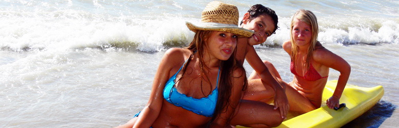
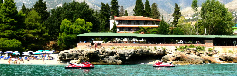
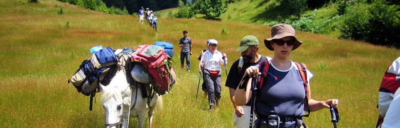
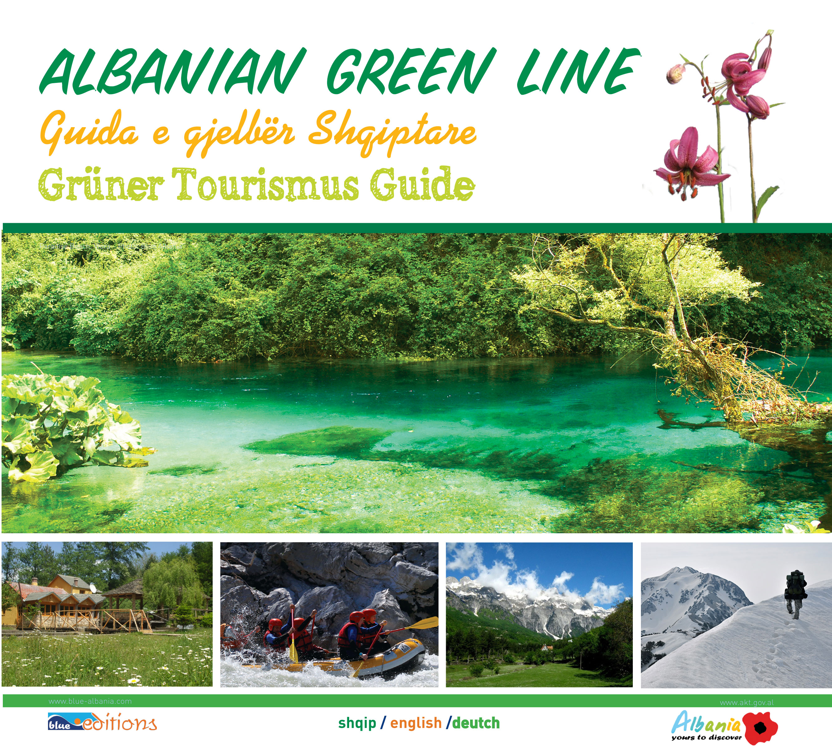
Tourism
This area encompasses many habitats: alpine and subalpine pastures, forests, glacial lakes, canyons, waterfalls, guva, yeast, etc. .. We meet and subendemike endemic plant species. Constitutes a core area and very important bio-corridor for the big mammals; big bear, wolf, lynx, wild goat, deer.
Border area with high biodiversity values. Appears as a very wide area with high biodiversity where dominate the virgin forests of beech. High biodiversity of habitat types, proximity of roads, unique values as a virgin area, for the existence of rare species of Pinus sylvestris and Betula verrucosa put in this area in a superior position as the region with specific protective value.
This area encompasses a variety of habitats: forest, subalpine and alpine pastures, glacial lakes, canyons, peaks, etc.. Characterized by a great diversity of habitat types, the existence of endemic plants. The combination of forests with beech and fir, set in less steep terrain, is a core and important bio-corridor for big mammals.
Boundary protected area with high biodiversity values. Constitutes in a restricted area on the border with Rrajca and Stebleva. The vegetation appears diverse and interesting. In the upper parts of vegetation, is bordering with the alpine pastures, and we meet the sub-endemic and endemic plants. Nucleus and important bio-corridor for the large mammals.
National Park Shebenik-Jabllanica
The Hole of the Dardha Bear. 1550 m above the sea level. Karst well, formed in limestone rocks of the Upper Crete, 20 m deep, with blocked bottom because of clay. Librazhd-Dardhë-Mountain- monument ititnerary.
The hole of Storks. Polis, 1640 m above sea level. well, formed in limestone rocks of the Upper Crete, 24 m deep with the bottom blocked by a mass of ice, probably Quaternary fossil of the period. Librazhd-Dardhë-Mountain- monument ititnerary.
The cave of Hasani. Dardhë. 930 m above the sea level. It is formed in limestone rocks of the upper Crete, about 43 m long, 1 m wide and about 4 m high. There are stalactites and stalagmites. Librazhd-Dardhë-Mountain- monument ititnerary.
The cave “Rock of Bee” Dardhë. On the rock with 100 m of height. It has been explored from the speleologists of "Puglia Grotte-Dauno"(1996) and S. Sala. It is 60 long, 20 m wide, 25 m high. Librazhd-Dardhë-Mountain- monument ititnerary.
The cave of Pishkashi. 400 m above the sea level. It iscomposed is a limestone of Crete, is 100 m long, 5-7 m wide, 3-4 m high. There are stalactites and stalagmites. Librazhd-Pishkash itinerary.
The mahogany of Skanderbeg. Situated on the south of Shebeniku, 1376 m above the sea level. Constitutes limestone block of Crete, placed on the form on mahogany, 1 km long and 800 m wide. In the lithological contact is the red crust of iron-nickel, indicative of peneplene "Mirdita. The legend says that on this stone, use to have meals the Skanderbeg's army. Prrenjas-Pishkash itinerary.
Hydro-monuments.
The Source of Studna. (Gollobordë), 600 m above sea level. Karst spring which comes in contact between limestone and old flysch. With abundant, clean and cold, water, creates a pleasant environment. Librazhd-Studnë itinerary.
The source of Kosharrishta. 600 m above the sea level. The karst cource comes out in contact between the trasic limestone and tortorian molassa. With abundant, clean and cold, water, creates a pleasant environment. Librazhd-Kosharrisht itinerary.
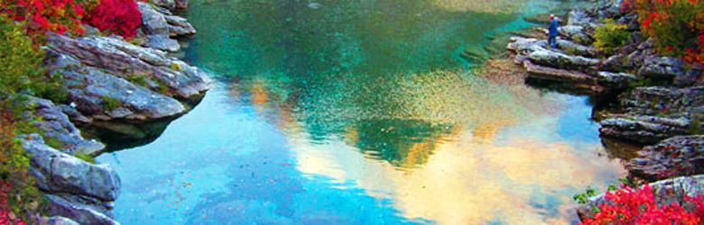
The lakes of Rajca. On the eastern slope of Shebeniku, in glacial cirques, 2200 m above the sea level. There are four glacial lakes, among the moraines, 100-200 m long, 80-100 m wide, several meters deep. Prrenjas-Rajcë-Skënderbej-the road to Shebeniku.
The lake of Floqit. 700 m above the sea level. Constitutes to karst lake on the outskirts of karst spring, in the contact between limestone and molassa. Librazhd-Floq itinerary
The lake of the Old Woman’s grave, Xhyrë, 600 m above the sea level. Constitutes a small karstic lake, formed in outgoing source in the contact between the limestone karst of Crete and molassa. Librazhd-Xhyrë itinerary.
Bio-monuments.
The Birch Forest of Qarrishta.
The Plane-tree of Taksimi.