
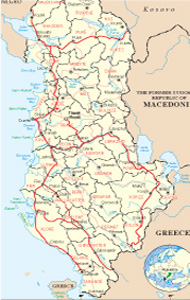
Albanian Map
Links
 |
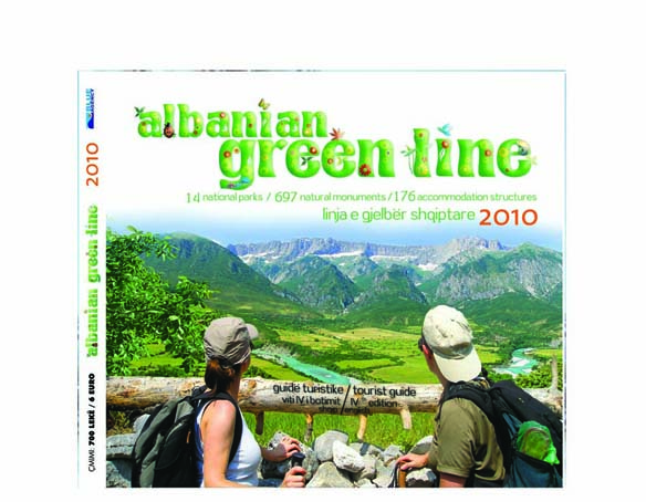
Publications
.jpg)

Durresi Practical Info

Geographical position
Durrësi lies in a coastal longitude of 30 miles. Being link of marine and terrestrial connections, Durrës has played always an important role in the geopolitical development of the region. Including the surroundings, Durrësi occupies 432 km2 of Albanian territory. In the northeast and east it meets Tirana districts and in the south ic bordered by Kavaja district. The western coast is gets wet by Adriatic sea. The coastal line lies from the embouchure of Ishmi river, till at the stream of Agait, near of Rock of Kavaja.
The relief of Durrësi belongs to the hilly-field kind, 89 m on the sea level, while at the city this level goes to 2 m high. The system of the hills curls from Rodoni cape, till in Durrësi mountain (178 m high).
Climate
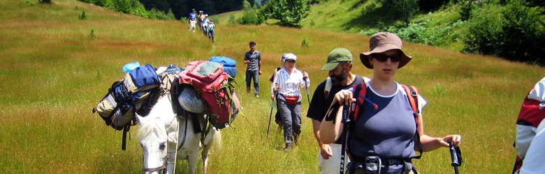
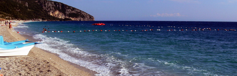
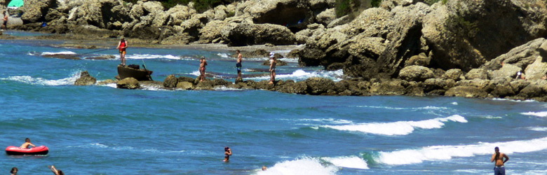
Durrësi region belongs to the subtropical climate, with soft winter and dry hot sumer. The hottest month is July and the coldest, is January. The nature of the zone is recommended for the family tourist destination, because of the sandy long beach, very suitable for the children. You may use light clothes during all the spring-summer period. For the winter, except the normal winter clothes, don’t forget to take with you the gloves and the cowls because Durrësi is next to the sea and the wind on the winter is very strong.
How to reach Durresi
Durrësi lies 38 km far from Tirana, about 36 km from “Mother Tereza” airport, 126 km from Shkodra, 222 km from Kukësi and 170 km far from custom of the Pass of Thana (Macedonia). In Durrës you may enter from the harbor, which links the country with four coastal cities of Italy, Bari, Brindisi, Ancona dhe Trieste, from the air, through the airport of Rinas “Mother Teresa” and from all the terrestrial points of the customs in Albania (see: How to reach Albania).
Durrësi has one of the oldest harbors in Europe and it is also one of the most important bridges of Balkan Peninsula, which link the East with West.
It has been defined as an entrance for the 8-th Corridor which starts from Albania and goes through Macedonia, Bulgaria and arrives to Varnas harbor in the Black Sea.
Also the harbor is the biggest of the country and overcomes over than 85% of import-export of the Albanian economy and human transport.
The transport in Durrës is private and public. It offers city lines and intercity ones. The station for the interline is located near of railway station, while the urban bus goes through all arteries of the city and surroundings.
Durrësi is also the first city in Albania which has been equipped with railway line. It has been constructed during the second War from the prime minister of the époque Shefqet Vërlaci (according to historic facts) but started to work only in 1947, after some last adjustments made from the government of Enver Hoxha. It was 43 km long and use to connect Durrës with Peqini town.