
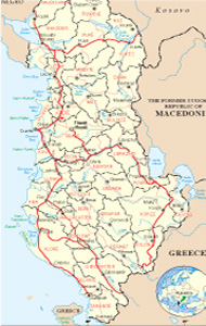
Albanian Map
Links
 |
Publications
.jpg)


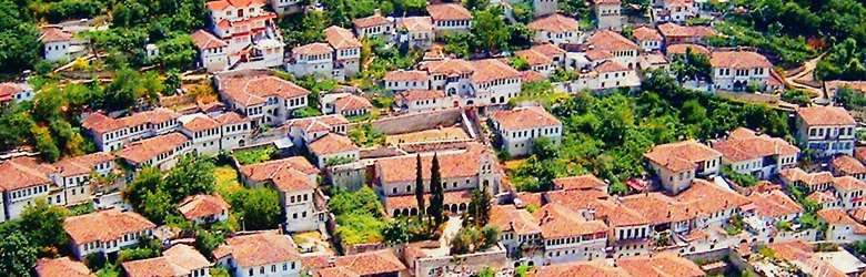
Mallakastra General Info
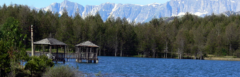
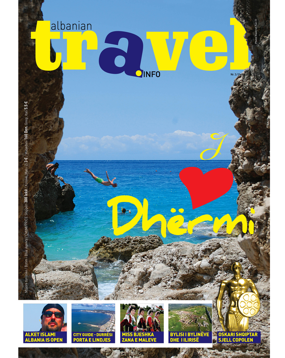
Mallakastra is located in southwestern area of Albania, along the national road Fier, Gjirokastra. Ballsh City is the capital centre that includes all the suburbs in the area of Mallakastra. Its location at the foot of the hills, which are accrossed by two rivers, Vjosa and Gjanica, giving to the area the natural Mediterranean beauty of vineyards and olive-trees. Beauty and the nature of this area is prominent in all geographical extention but would say that it better expressed with Poçemi Park, where each visitor will find peace and relax, in the freshness of the forest and natural water source of Poçemi, and where the flow of Vjosa river, is accompanied by the murmur of old plane-trees. No doubt that the reason to visit Mallakastra, is the Archaeological Park of Bylis.
Relief and climate
Mallakastra Region is situated along the national road Fier-Ballsh-Tepelenë. Extended along a hill range that divides the Myzeqeja plain from the Gjanica Valley, Mallakastra is a hilly area that extend at the south to the Vjosa River. Their average altitude is around 300 m descending toward Patosi area until them dipping under the Myzeqeja plain. The highest point of the region is 320 m above sea level. Mallakastra is bordered in South with Tepelena. The climate is typically Mediterranean with a mild winter and a hot dry summer. This situation is influenced by short distance from the Adriatic Sea. To the east and southeast the mountainous area of southern Albania, prevent the penetration of the continental cold climate. The annual temperature averages 14-15 .C, while the January temperature marks 5 .C.
History
Ballshi was developed as a town in the Middle Ages after the fall of Byllis, which flourished since ancient times, before Christ. As an important town between Vlora and Berat, had an important economic role by becoming the episcopal center. Written sources mention the names or Kafeleni and Gllavenicë, which correspond to the Bylis and Ballsh toponyms. Today the city is developing as an industrial center, because there is a rich oil-bearing area, which is processed in Ballsh.
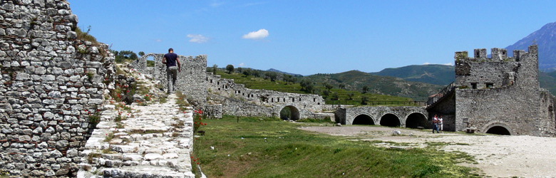
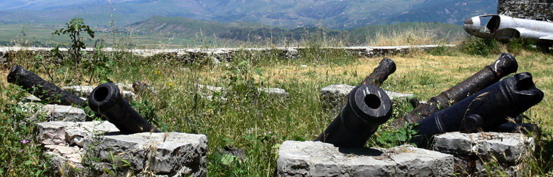
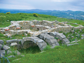
Bylis Archaeological Park
Bylis Zone, has been one of the most important cities in South Illyria, and has served as the metropolis of Bylinët tribe, including cities Nikaia (Klosi) and Eugen (Margellici), which all together were part of the province pf Atintania, covering all Vjosa area. The city had a large theater with about 8000 seats, stadium, playgrounds, schools, temples etc.. During the development, it had also a coin. In the period AD, Bylis became an important center of early Christianity, where many churches had been constructed. The city suffered the total destruction period and moved along Ballsh in the second half of VI century, from slave invasions. The most prominent landmarks are the Gate 6, the Stadium and Stern, Basilica, inscription, Cathedral, Justinian's Baths etc..
Other important areas in Mallakastër are Nikaia, Poçemi, and Ballsh city with the Basilica and other religious objects.
Culture and ethnography
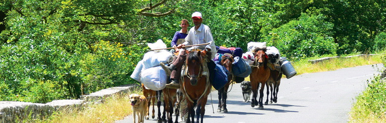
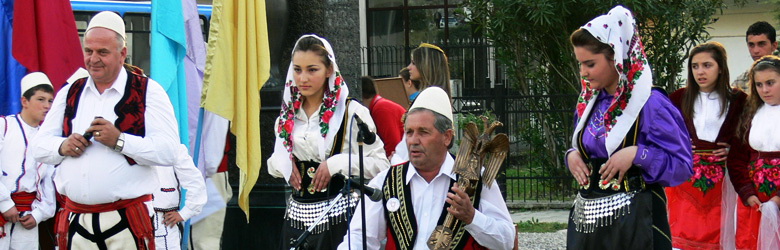
Mallakastra area is very rich in culture and folk but being a large zone it keeps the rites and traditions that interfere in different areas, sometimes with features Myzeqe area, and sometimes with features of Laberia. Wardrobe area, also resemble both these cultures, where men also dress pants with kilts, and women use clothing outfits that resemble the Laberia and Myzeqe area. And music also retains features of these areas. In the tradition of cooking dominate the stored food with natural products, roasted meat, wonderful wines of the vineyards of the area etc..
Nikaia
The Basilica of Ballsh
Known as the monastery of St. Mary, along with other ruins around it, and identify Gllavenica medieval center. It is completely rebuilt in the ninth century, taking stones from the city of Bylis. Gllavenica is one of the most important medieval Episcopal centre. The famous Epitaph of Gllavenica, comes from here and perhaps the codexes of Berat too.
The natural monuments
The angular discrepancy of Greshicës. Near the national highway Ballsh-Tepelenë. Very interesting geological phenomenon, it attracts the attention of the studies. Ballsh-Greshicë-Tepelenë itinerary.
The cave of Poçemit. Area of Dardha. 80 m long, width 10 m, it has a close entrance with large extensions after. In the cave is living bat colonies and there are found stalactites and stalagmite. Fratar-Poçem itinerary.
Hydro-monument
The thermal waters of Povla. Near the national highway Ballsh-Tepelenë. The sources relate to the tectonic break Sevaster-Sinjë. 100-150 1/h of flux. The water has sulfur smell, temperature of 14-16 degrees C. By residents are used to treat skin infections. Ballsh-Fratar itinerary.
Bio-monuments
The Plane-trees of Vurgu in Çorrush.